
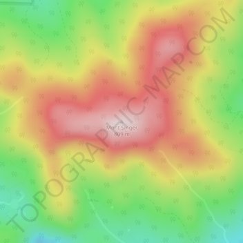
Mont Singer topographic map
Interactive map
Click on the map to display elevation.
About this map
Name: Mont Singer topographic map, elevation, terrain.
Location: Mont Singer, Potton, Memphrémagog, Estrie, Québec, Canada (45.13351 -72.45630 45.13361 -72.45620)
Average elevation: 603 m
Minimum elevation: 387 m
Maximum elevation: 800 m
Other topographic maps
Click on a map to view its topography, its elevation and its terrain.
Mansonville
Canada > Québec > Memphrémagog > Potton
Mansonville, Potton, Memphrémagog, Estrie, Québec, J0E 1X0, Canada
Average elevation: 211 m