
Tala topographic map
Interactive map
Click on the map to display elevation.
About this map
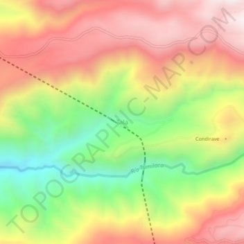
Name: Tala topographic map, elevation, terrain.
Location: Tala, Torata, Mariscal Nieto, Moquegua, Perú (-17.11864 -70.70258 -17.07864 -70.66258)
Average elevation: 3,518 m
Minimum elevation: 3,028 m
Maximum elevation: 3,950 m
Other topographic maps
Click on a map to view its topography, its elevation and its terrain.