
Maatea topographic map
Interactive map
Click on the map to display elevation.
About this map
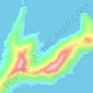
Name: Maatea topographic map, elevation, terrain.
Location: Maatea, Îles Marquises, Polynésie française, France (-8.80403 -140.02587 -8.80393 -140.02577)
Average elevation: 61 m
Minimum elevation: -1 m
Maximum elevation: 286 m