
Old Langho topographic map
Interactive map
Click on the map to display elevation.
About this map
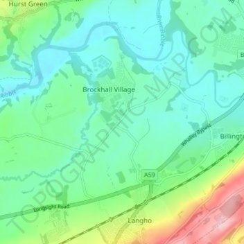
Name: Old Langho topographic map, elevation, terrain.
Average elevation: 74 m
Minimum elevation: 28 m
Maximum elevation: 214 m
Other topographic maps
Click on a map to view its topography, its elevation and its terrain.
Billington and Langho
United Kingdom > England > Lancashire > Ribble Valley > Brockhall Village
Billington and Langho, Brockhall Village, Ribble Valley, Lancashire, England, United Kingdom, Chew Bank Wood
Average elevation: 58 m