
South Holland topographic map
Interactive map
Click on the map to display elevation.
About this map
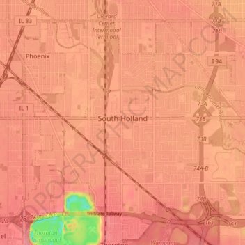
Name: South Holland topographic map, elevation, terrain.
Average elevation: 183 m
Minimum elevation: 119 m
Maximum elevation: 198 m
Other topographic maps
Click on a map to view its topography, its elevation and its terrain.
Chicago
États-Unis d'Amérique > Illinois > Cook County
Chicago, Cook County, Illinois, États-Unis d'Amérique
Average elevation: 182 m
Schaumburg Road Grasslands
États-Unis d'Amérique > Illinois > Cook County
Schaumburg Road Grasslands, Hanover Township, Cook County, Illinois, 60107, États-Unis d'Amérique
Average elevation: 246 m