
Kakkulissery topographic map
Interactive map
Click on the map to display elevation.
About this map
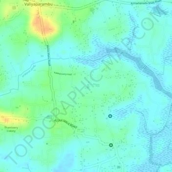
Name: Kakkulissery topographic map, elevation, terrain.
Average elevation: 10 m
Minimum elevation: -2 m
Maximum elevation: 34 m
Other topographic maps
Click on a map to view its topography, its elevation and its terrain.
Kuzhur
India > Kerala > Chalakkudy > Valiyaparambu
Kuzhur, Valiyaparambu, Chalakkudy, Thrissur District, Kerala, 680734, India
Average elevation: 7 m