
仲萨乡 topographic map
Interactive map
Click on the map to display elevation.
About this map
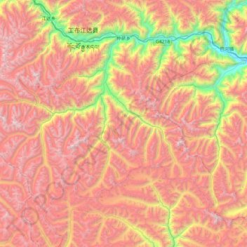
Name: 仲萨乡 topographic map, elevation, terrain.
Location: 仲萨乡, 工布江达县, 林芝市, 西藏自治区, 中国 (29.44221 92.92902 29.89997 93.65039)
Average elevation: 4,737 m
Minimum elevation: 3,194 m
Maximum elevation: 6,062 m
Other topographic maps
Click on a map to view its topography, its elevation and its terrain.