
Thank you for supporting this site ❤️
Make a donation
Make a donation
Gowardhan topographic map
Click on the map to display elevation.
Thank you for supporting this site ❤️
Make a donation
Make a donation
About this map
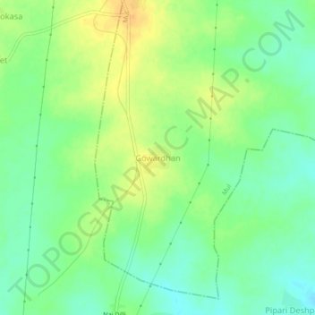
Name: Gowardhan topographic map, elevation, terrain.
Location: Gowardhan, Mul, Chandrapur, Maharashtra, 441228, India (19.87044 79.71504 19.91044 79.75504)
Average elevation: 185 m
Minimum elevation: 171 m
Maximum elevation: 202 m
Thank you for supporting this site ❤️
Make a donation
Make a donation