
Thank you for supporting this site ❤️
Make a donation
Make a donation
Livingston topographic map
Click on the map to display elevation.
Thank you for supporting this site ❤️
Make a donation
Make a donation
About this map
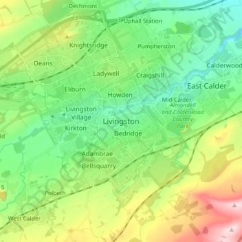
Name: Livingston topographic map, elevation, terrain.
Location: Livingston, West Lothian, Scotland, EH54 6HS, United Kingdom (55.84319 -3.55495 55.92319 -3.47495)
Average elevation: 158 m
Minimum elevation: 67 m
Maximum elevation: 351 m
Thank you for supporting this site ❤️
Make a donation
Make a donation