
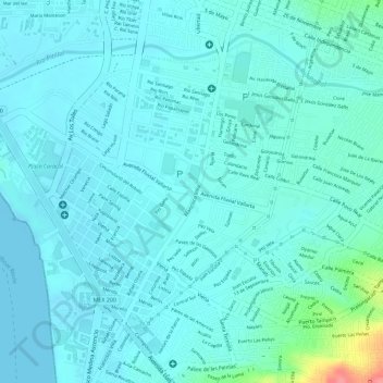
Fuente Fluvial Vallarta topographic map
Interactive map
Click on the map to display elevation.
About this map
Name: Fuente Fluvial Vallarta topographic map, elevation, terrain.
Average elevation: 14 m
Minimum elevation: 0 m
Maximum elevation: 86 m
Other topographic maps
Click on a map to view its topography, its elevation and its terrain.
Estero el Salado
México > Jalisco > Puerto Vallarta > Puerto Vallarta
Estero el Salado, Calle Petalos, Puerto Vallarta, Jalisco, 48300, México
Average elevation: 4 m