
Thank you for supporting this site ❤️
Make a donation
Make a donation
Gandhi Vihar topographic map
Click on the map to display elevation.
Thank you for supporting this site ❤️
Make a donation
Make a donation
About this map
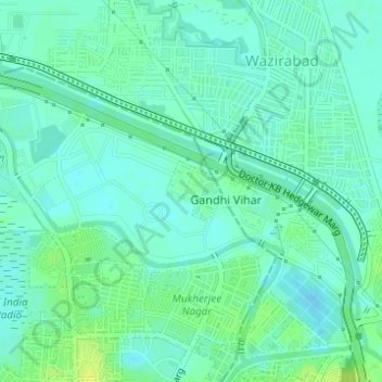
Name: Gandhi Vihar topographic map, elevation, terrain.
Location: Gandhi Vihar, Model Town Tehsil, North Delhi, Delhi, India (28.71838 77.21196 28.72264 77.21628)
Average elevation: 209 m
Minimum elevation: 203 m
Maximum elevation: 219 m
Thank you for supporting this site ❤️
Make a donation
Make a donation
Other topographic maps
Click on a map to view its topography, its elevation and its terrain.