
Thank you for supporting this site ❤️
Make a donation
Make a donation
Flaunden topographic map
Click on the map to display elevation.
Thank you for supporting this site ❤️
Make a donation
Make a donation
About this map
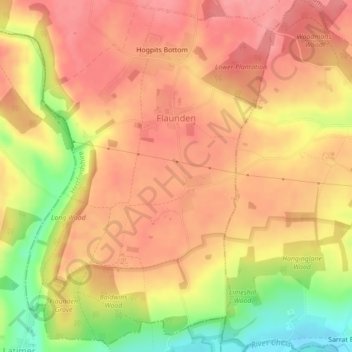
Name: Flaunden topographic map, elevation, terrain.
Location: Flaunden, Dacorum, Hertfordshire, England, United Kingdom (51.67983 -0.54918 51.70596 -0.51861)
Average elevation: 125 m
Minimum elevation: 68 m
Maximum elevation: 153 m
Thank you for supporting this site ❤️
Make a donation
Make a donation
Other topographic maps
Click on a map to view its topography, its elevation and its terrain.