
Tendaho topographic map
Interactive map
Click on the map to display elevation.
About this map
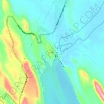
Name: Tendaho topographic map, elevation, terrain.
Location: Tendaho, Zone 1, Afar, Éthiopie (11.67217 40.93311 11.71217 40.97311)
Average elevation: 431 m
Minimum elevation: 387 m
Maximum elevation: 564 m
Other topographic maps
Click on a map to view its topography, its elevation and its terrain.
Danakil Depression
Danakil Depression, Zone 2, Afar, Éthiopie
Average elevation: -105 m
Yangudi Rassa National Park
Yangudi Rassa National Park, 18, Zone 3, Afar, Éthiopie
Average elevation: 622 m