
Langenhain topographic map
Interactive map
Click on the map to display elevation.
About this map
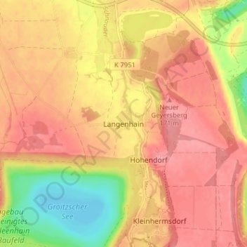
Name: Langenhain topographic map, elevation, terrain.
Location: Langenhain, Leipzig, Sachsen, 04613, Deutschland (51.10210 12.30924 51.14210 12.34924)
Average elevation: 141 m
Minimum elevation: 89 m
Maximum elevation: 167 m