
Ota topographic map
Interactive map
Click on the map to display elevation.
About this map
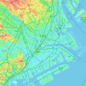
Name: Ota topographic map, elevation, terrain.
Location: Ota, Tokio, 関東地方, Japón (35.50543 139.65283 35.61309 139.92136)
Average elevation: 13 m
Minimum elevation: -10 m
Maximum elevation: 75 m
Other topographic maps
Click on a map to view its topography, its elevation and its terrain.