
Gessel topographic map
Interactive map
Click on the map to display elevation.
About this map
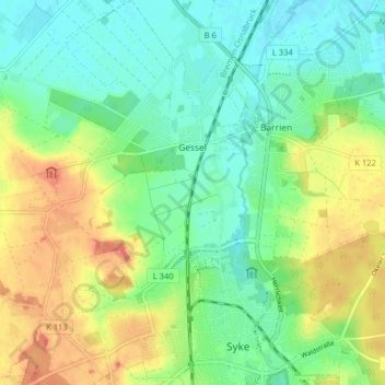
Name: Gessel topographic map, elevation, terrain.
Location: Gessel, Syke, Landkreis Diepholz, Baixa Saxónia, Alemanha (52.90834 8.76126 52.95638 8.82175)
Average elevation: 31 m
Minimum elevation: 11 m
Maximum elevation: 63 m