
茂木町 topographic map
Interactive map
Click on the map to display elevation.
About this map
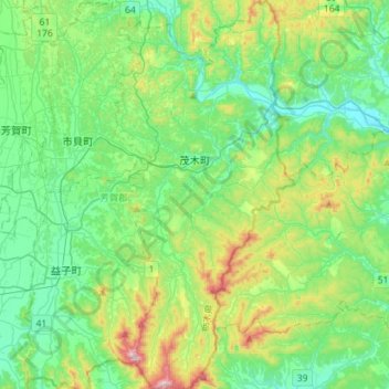
Name: 茂木町 topographic map, elevation, terrain.
Location: 茂木町, 芳賀郡, Präfektur Tochigi, Japan (36.39728 140.12837 36.62501 140.26018)
Average elevation: 145 m
Minimum elevation: 21 m
Maximum elevation: 510 m