
Whitsunday Bay topographic map
Interactive map
Click on the map to display elevation.
About this map
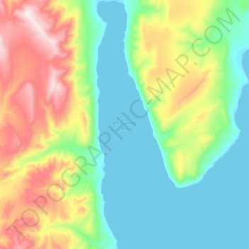
Name: Whitsunday Bay topographic map, elevation, terrain.
Location: Whitsunday Bay, Qikiqtaaluk, Nunavut, Canada (78.91981 -86.99440 79.05855 -86.76260)
Average elevation: 291 m
Minimum elevation: 0 m
Maximum elevation: 1,107 m
Other topographic maps
Click on a map to view its topography, its elevation and its terrain.
Triton Bay
Canada > Nunavut > Qikiqtaaluk
Triton Bay, Qikiqtaaluk, Nunavut, Canada
Average elevation: 20 m