
前河村 topographic map
Interactive map
Click on the map to display elevation.
About this map
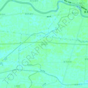
Name: 前河村 topographic map, elevation, terrain.
Location: 前河村, 天门市, 湖北省, 中国 (30.62611 113.04177 30.66611 113.08177)
Average elevation: 30 m
Minimum elevation: 26 m
Maximum elevation: 33 m
Other topographic maps
Click on a map to view its topography, its elevation and its terrain.