
Tejamulya topographic map
Interactive map
Click on the map to display elevation.
About this map
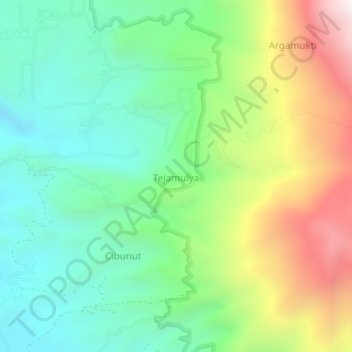
Name: Tejamulya topographic map, elevation, terrain.
Location: Tejamulya, Majalengka, Java occidental, Indonésie (-6.93916 108.34793 -6.89916 108.38793)
Average elevation: 1,439 m
Minimum elevation: 1,001 m
Maximum elevation: 2,272 m