
Mayhill topographic map
Interactive map
Click on the map to display elevation.
About this map
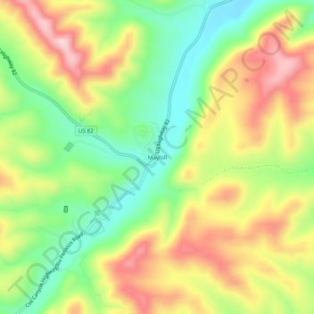
Name: Mayhill topographic map, elevation, terrain.
Location: Mayhill, Otero County, New Mexico, United States (32.86954 -105.49804 32.90954 -105.45804)
Average elevation: 2,104 m
Minimum elevation: 1,974 m
Maximum elevation: 2,255 m
Other topographic maps
Click on a map to view its topography, its elevation and its terrain.
Alamogordo
United States > New Mexico > Otero County > Alamogordo
Alamogordo, Otero County, New Mexico, 88310, United States
Average elevation: 1,716 m
Cloudcroft
United States > New Mexico > Otero County
Cloudcroft, Otero County, New Mexico, United States
Average elevation: 2,643 m