
Tranebjerg topographic map
Interactive map
Click on the map to display elevation.
About this map
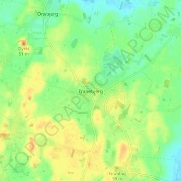
Name: Tranebjerg topographic map, elevation, terrain.
Location: Tranebjerg, Samsø Kommune, 8305, Dänemark (55.81261 10.56941 55.85261 10.60941)
Average elevation: 17 m
Minimum elevation: -3 m
Maximum elevation: 37 m