
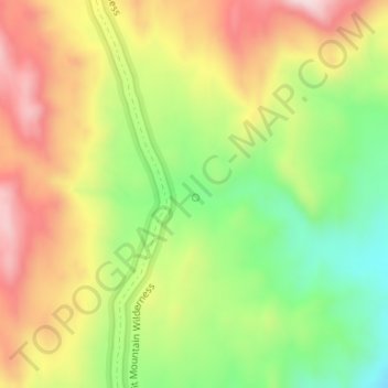
Sacatone Spring topographic map
Interactive map
Click on the map to display elevation.
About this map
Name: Sacatone Spring topographic map, elevation, terrain.
Average elevation: 751 m
Minimum elevation: 544 m
Maximum elevation: 968 m
Other topographic maps
Click on a map to view its topography, its elevation and its terrain.
Moapa
Vereinigte Staaten von Amerika > Nevada > Clark County > Moapa
Moapa, Clark County, Nevada, Vereinigte Staaten von Amerika
Average elevation: 492 m