
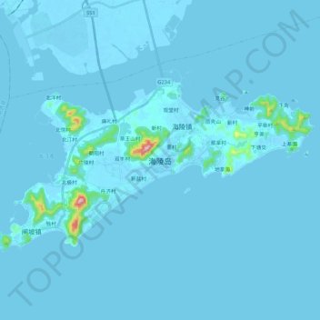
海陵岛 topographic map
Interactive map
Click on the map to display elevation.
About this map
Name: 海陵岛 topographic map, elevation, terrain.
Location: 海陵岛, 海陵镇, 江城区, 阳江市, 广东省, 中国 (21.55930 111.80707 21.67251 112.01944)
Average elevation: 8 m
Minimum elevation: -5 m
Maximum elevation: 369 m
Other topographic maps
Click on a map to view its topography, its elevation and its terrain.