
Orosa topographic map
Interactive map
Click on the map to display elevation.
About this map
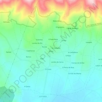
Name: Orosa topographic map, elevation, terrain.
Location: Orosa, Lugo, Galicia, España (43.37187 -7.68373 43.41187 -7.64373)
Average elevation: 536 m
Minimum elevation: 455 m
Maximum elevation: 753 m