
Roure topographic map
Interactive map
Click on the map to display elevation.
About this map
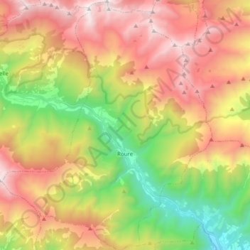
Name: Roure topographic map, elevation, terrain.
Location: Roure, Turin, Piémont, Italie (44.95997 7.05447 45.06754 7.18268)
Average elevation: 1,710 m
Minimum elevation: 622 m
Maximum elevation: 2,846 m