
Çınarlı Mahallesi topographic map
Interactive map
Click on the map to display elevation.
About this map
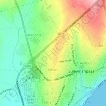
Name: Çınarlı Mahallesi topographic map, elevation, terrain.
Average elevation: 58 m
Minimum elevation: 0 m
Maximum elevation: 148 m
Other topographic maps
Click on a map to view its topography, its elevation and its terrain.
Tekirdağ
Turquie > Marmara Bölgesi > Tekirdağ > Süleymanpaşa
Tekirdağ, Süleymanpaşa, Tekirdağ, Marmara Bölgesi, 59200, Turquie
Average elevation: 108 m