
角 topographic map
Interactive map
Click on the map to display elevation.
About this map
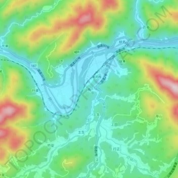
Name: 角 topographic map, elevation, terrain.
Location: 角, Iwakuni, Präfektur Yamaguchi, Region Chūgoku, Japan (34.14214 132.08152 34.18214 132.12152)
Average elevation: 129 m
Minimum elevation: 7 m
Maximum elevation: 395 m