
Normandel topographic map
Interactive map
Click on the map to display elevation.
About this map
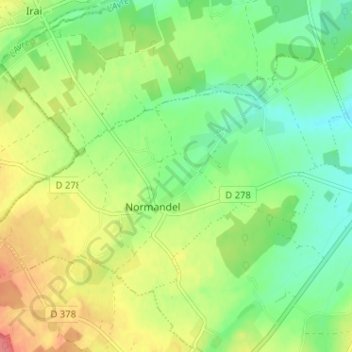
Name: Normandel topographic map, elevation, terrain.
Average elevation: 225 m
Minimum elevation: 197 m
Maximum elevation: 265 m
Other topographic maps
Click on a map to view its topography, its elevation and its terrain.
Moussonvilliers
France > Normandie > Orne > Charencey
Moussonvilliers, Charencey, Mortagne-au-Perche, Orne, Normandie, France métropolitaine, 61190, France
Average elevation: 227 m