
Siresandra topographic map
Click on the map to display elevation.
About this map
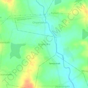
Name: Siresandra topographic map, elevation, terrain.
Location: Siresandra, Kolar taluk, Kolar district, Karnataka, India (13.06709 78.26077 13.10709 78.30077)
Average elevation: 795 m
Minimum elevation: 779 m
Maximum elevation: 821 m