
Lucira topographic map
Interactive map
Click on the map to display elevation.
About this map
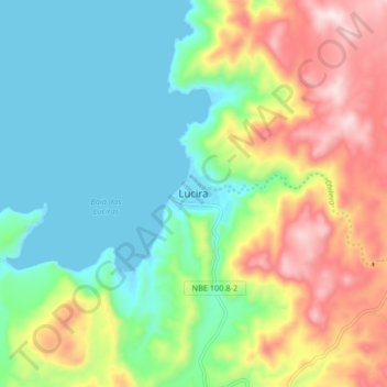
Name: Lucira topographic map, elevation, terrain.
Location: Lucira, Namibe Province, Angola (-13.90550 12.48481 -13.82550 12.56481)
Average elevation: 179 m
Minimum elevation: -2 m
Maximum elevation: 512 m