
Santo Niño topographic map
Interactive map
Click on the map to display elevation.
About this map
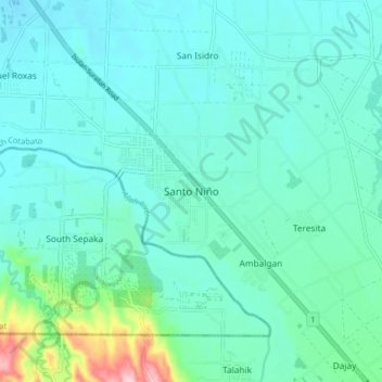
Name: Santo Niño topographic map, elevation, terrain.
Location: Santo Niño, South Cotabato, Soccsksargen, 9509, Philippines (6.38795 124.64054 6.46795 124.72054)
Average elevation: 155 m
Minimum elevation: 112 m
Maximum elevation: 377 m