
Rivière Louvicourt topographic map
Interactive map
Click on the map to display elevation.
About this map
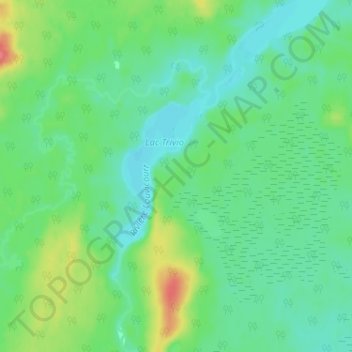
Name: Rivière Louvicourt topographic map, elevation, terrain.
Average elevation: 329 m
Minimum elevation: 310 m
Maximum elevation: 373 m
Other topographic maps
Click on a map to view its topography, its elevation and its terrain.
Fosse East-Sullivan
Fosse East-Sullivan, Val-d'Or, La Vallée-de-l'Or, Abitibi-Témiscamingue, Québec, Canada
Average elevation: 322 m