
Agrela topographic map
Interactive map
Click on the map to display elevation.
About this map
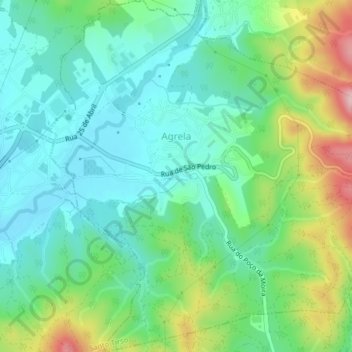
Name: Agrela topographic map, elevation, terrain.
Location: Agrela, Santo Tirso, Porto, Norte, Portugal (41.24120 -8.48682 41.27111 -8.44920)
Average elevation: 173 m
Minimum elevation: 109 m
Maximum elevation: 326 m