
Anamaduwa topographic map
Interactive map
Click on the map to display elevation.
About this map
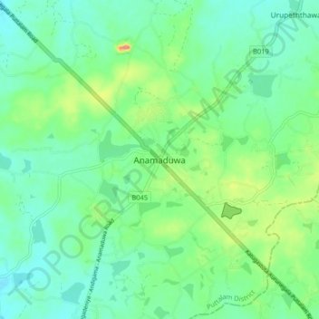
Name: Anamaduwa topographic map, elevation, terrain.
Location: Anamaduwa, Puttalam District, North Western Province, Sri Lanka (7.83764 79.97094 7.91764 80.05094)
Average elevation: 62 m
Minimum elevation: 40 m
Maximum elevation: 120 m