
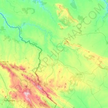
Valencia de Alcántara topographic map
Interactive map
Click on the map to display elevation.
About this map
Name: Valencia de Alcántara topographic map, elevation, terrain.
Location: Valencia de Alcántara, Cáceres, Extremadura, España (39.26570 -7.39277 39.62231 -7.00927)
Average elevation: 419 m
Minimum elevation: 137 m
Maximum elevation: 1,021 m