
Thank you for supporting this site ❤️
Make a donation
Make a donation
Wringinputih topographic map
Click on the map to display elevation.
Thank you for supporting this site ❤️
Make a donation
Make a donation
About this map
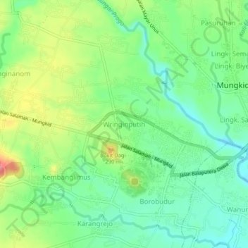
Name: Wringinputih topographic map, elevation, terrain.
Location: Wringinputih, Magelang, Central Java, 56553, Indonesia (-7.61868 110.18211 -7.57868 110.22211)
Average elevation: 252 m
Minimum elevation: 218 m
Maximum elevation: 310 m
Thank you for supporting this site ❤️
Make a donation
Make a donation