
Thank you for supporting this site ❤️
Make a donation
Make a donation
Ville-Haute topographic map
Click on the map to display elevation.
Thank you for supporting this site ❤️
Make a donation
Make a donation
About this map
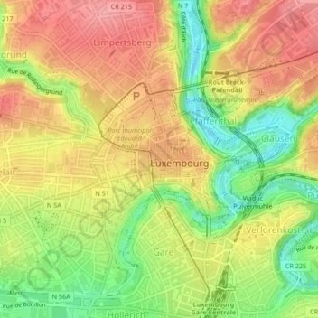
Name: Ville-Haute topographic map, elevation, terrain.
Location: Ville-Haute, Luxembourg, Canton Luxembourg, Luxembourg (49.60530 6.11828 49.61786 6.13638)
Average elevation: 296 m
Minimum elevation: 238 m
Maximum elevation: 341 m
Thank you for supporting this site ❤️
Make a donation
Make a donation