
Venturu topographic map
Interactive map
Click on the map to display elevation.
About this map
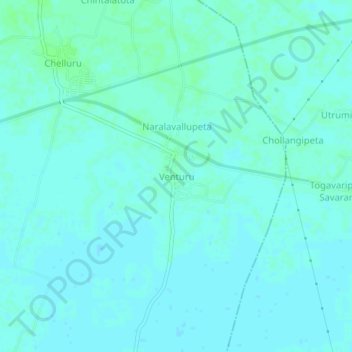
Name: Venturu topographic map, elevation, terrain.
Location: Venturu, Rayavaram, Konaseema, Andhra Pradesh, 533255, India (16.78607 81.99297 16.82607 82.03297)
Average elevation: 6 m
Minimum elevation: 4 m
Maximum elevation: 10 m