
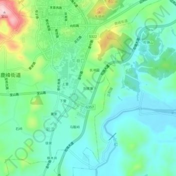
刘家寨 topographic map
Interactive map
Click on the map to display elevation.
About this map
Name: 刘家寨 topographic map, elevation, terrain.
Location: 刘家寨, 牛巷口, 鹿峰街道, 桂阳县, 郴州市, 湖南省, 中国 (25.70396 112.71719 25.74396 112.75719)
Average elevation: 280 m
Minimum elevation: 207 m
Maximum elevation: 490 m