
Rol topographic map
Interactive map
Click on the map to display elevation.
About this map
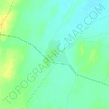
Name: Rol topographic map, elevation, terrain.
Location: Rol, Jayal Tehsil, Nagaur District, Rajasthan, 341027, Índia (27.14394 73.90791 27.18394 73.94791)
Average elevation: 309 m
Minimum elevation: 300 m
Maximum elevation: 323 m