
Kacholiya topographic map
Interactive map
Click on the map to display elevation.
About this map
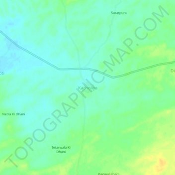
Name: Kacholiya topographic map, elevation, terrain.
Location: Kacholiya, Makrana Tehsil, Nagaur, Rajasthan, India (27.10144 74.63663 27.14144 74.67663)
Average elevation: 378 m
Minimum elevation: 369 m
Maximum elevation: 393 m