
Wiarton topographic map
Interactive map
Click on the map to display elevation.
About this map
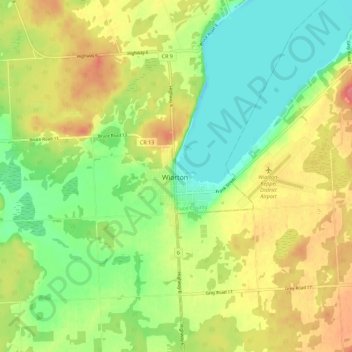
Name: Wiarton topographic map, elevation, terrain.
Location: Wiarton, Bruce County, Ontario, N0H, Canada (44.70403 -81.18042 44.78403 -81.10042)
Average elevation: 205 m
Minimum elevation: 171 m
Maximum elevation: 248 m