
Bahula topographic map
Interactive map
Click on the map to display elevation.
About this map
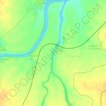
Name: Bahula topographic map, elevation, terrain.
Location: Bahula, Jalgaon, Maharashtra, 425001, India (20.70784 75.38364 20.75510 75.39336)
Average elevation: 242 m
Minimum elevation: 225 m
Maximum elevation: 254 m
Other topographic maps
Click on a map to view its topography, its elevation and its terrain.