
Río Negro topographic map
Interactive map
Click on the map to display elevation.
About this map
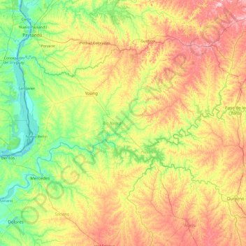
Name: Río Negro topographic map, elevation, terrain.
Location: Río Negro, Uruguay (-33.44087 -58.44135 -32.34256 -56.54639)
Average elevation: 71 m
Minimum elevation: -1 m
Maximum elevation: 220 m