
朝来市 topographic map
Interactive map
Click on the map to display elevation.
About this map
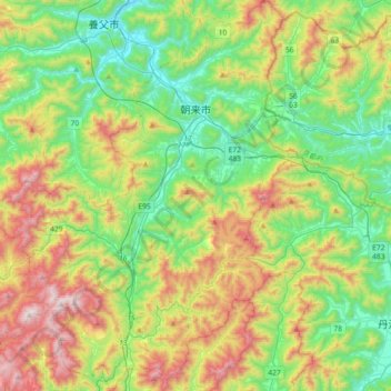
Name: 朝来市 topographic map, elevation, terrain.
Location: 朝来市, Prefectura de Hyōgo, Japón (35.12547 134.68522 35.42184 134.93890)
Average elevation: 395 m
Minimum elevation: 22 m
Maximum elevation: 1,111 m