
Thank you for supporting this site ❤️
Make a donation
Make a donation
Godthaab topographic map
Click on the map to display elevation.
Thank you for supporting this site ❤️
Make a donation
Make a donation
About this map
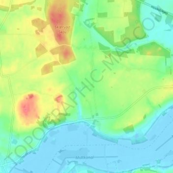
Name: Godthaab topographic map, elevation, terrain.
Location: Godthaab, Norddjurs Kommune, Danemark (56.39819 10.72759 56.43819 10.76759)
Average elevation: 20 m
Minimum elevation: -6 m
Maximum elevation: 60 m
Thank you for supporting this site ❤️
Make a donation
Make a donation