
Vengaivasal Panchayat office topographic map
Interactive map
Click on the map to display elevation.
About this map
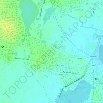
Name: Vengaivasal Panchayat office topographic map, elevation, terrain.
Average elevation: 12 m
Minimum elevation: 6 m
Maximum elevation: 24 m
Other topographic maps
Click on a map to view its topography, its elevation and its terrain.
Noothanchery
India > Tamil Nadu > Tambaram > Noothanchery
Noothanchery, Tambaram, Chengalpattu District, Tamil Nadu, 600126, India
Average elevation: 12 m