
Thank you for supporting this site ❤️
Make a donation
Make a donation
Ardorf topographic map
Click on the map to display elevation.
Thank you for supporting this site ❤️
Make a donation
Make a donation
About this map
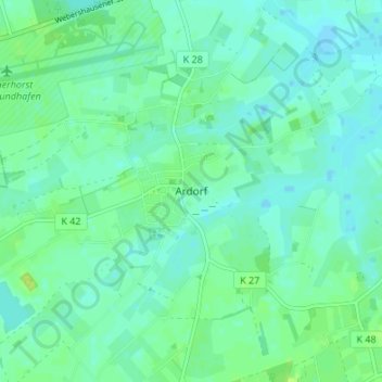
Name: Ardorf topographic map, elevation, terrain.
Location: Ardorf, Wittmund, Landkreis Wittmund, Lower Saxony, Germany (53.51558 7.67537 53.55558 7.71537)
Average elevation: 5 m
Minimum elevation: -1 m
Maximum elevation: 13 m
Thank you for supporting this site ❤️
Make a donation
Make a donation