
Thank you for supporting this site ❤️
Make a donation
Make a donation
Taishan topographic map
Click on the map to display elevation.
Thank you for supporting this site ❤️
Make a donation
Make a donation
About this map
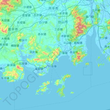
Name: Taishan topographic map, elevation, terrain.
Location: Taishan, Jiangmen, Guangdong Province, China (21.45043 112.29900 22.44738 113.06511)
Average elevation: 42 m
Minimum elevation: -11 m
Maximum elevation: 937 m
Thank you for supporting this site ❤️
Make a donation
Make a donation